Location: Canterbury
Kaikoura, Canterbury Plains, Aoraki-Mt Cook National Park, Mackenzie Basin
-
 The glowing summit of Mt Sefton (3151m), captured approximately 30 minutes before sunrise
 -
 A nuclear sunrise over the Castle Hill Basin reflects in a tarn in the Craigieburn Range
 -
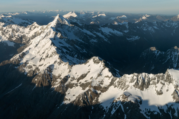 The spine of the Southern Alps extending to the northern face of Mt Sefton (3,151m)
 -
 A storm coinciding with sunset made for a surreal scene across the Canterbury Plains


