Feature: Road
-
 The wild expanse of Gillespies Beach, located in South-Westland near the township of Fox Glacier
 -
 Looking south towards Jacksons Bay, with the impressive Okuru Lagoon sweeping along the coastline
 -
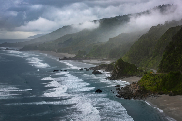
 Sun lit mist after a period of rain heavy rain on State Highway 94, Fiordland National Park
 -
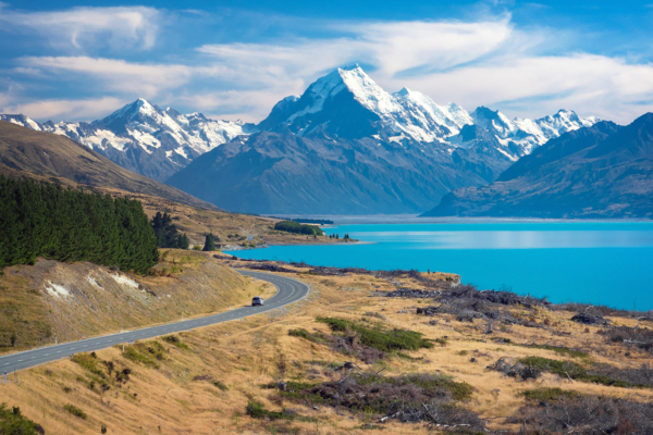
 When State Highway 8 comes alongside Lake Pukaki the first sight of its glacial blue water is almost too difficult to believe
 -
 In summer the lupin flowers blooming along the hydro canals of the Mackenzie Basin are a treat for the eye
 -
 State Highway 6 weaves along the narrow strip between the Tasman Sea and Paparoa National Park
 -
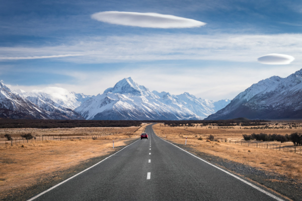
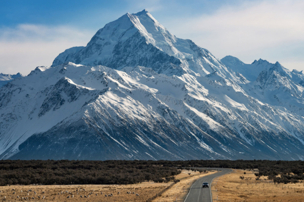 New Zealand's highest mountain, Aoraki / Mt Cook (3,724m), looms large over State Highway 80.
 -
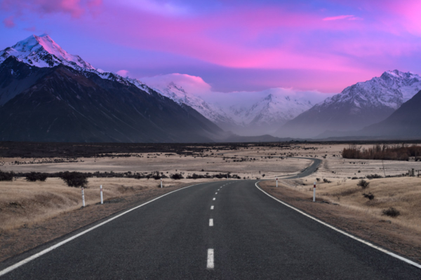 State Highway 80 takes you to Aoraki-Mt Cook National Park, which is home to 22 mountains reaching over 3,000m above sea level.
 -
 When you're on State Highway 80 and have this view of Lake Pukaki and Aoraki - Mt Cook, you know only good things lie ahead.