Location: West Coast
Kahurangi National Park, Paparoa National Park, Westland Tai Poutini National Park
-
At 96 m high, Thunder Creek Falls is an easy 5 minute walk from the main road (State Highway 6) near Haast Pass.
-
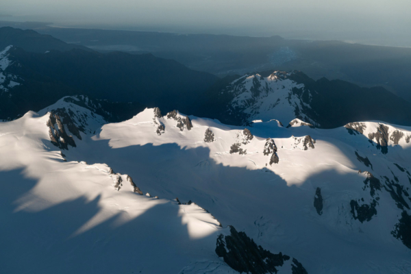
The Southern Alps at sunrise; the Fox River and the West Coast can be seen on the horizon
-
Which way is up? A beautifully still and crisp winter's morning at Lake Matheson, Westland Tai Poutini National Park.
-
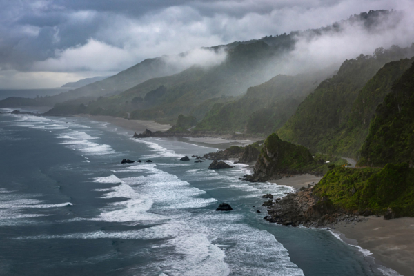
State Highway 6 weaves along the narrow strip between the Tasman Sea and Paparoa National Park
-
Looking south towards Jacksons Bay, with the impressive Okuru Lagoon sweeping along the coastline
-
A remnant of the last ice age, Lake Mapourika is located just to the north of Franz Josef.
-
The wild expanse of Gillespies Beach, located in South-Westland near the township of Fox Glacier
-
Golden light illuminates Fox Glacier / Te Moeka o Tuawe as the sun sets over the Tasman Sea
-
Named after it's distance from Greymouth, 13 Mile is probably best known for the Motukiekie Rocks, but there's way more on offer than that.


