Category: Adventure
-
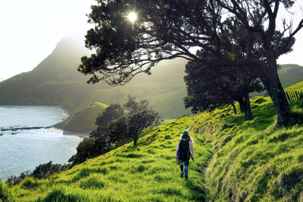 The walk between Stony Bay and Fletchers Bay on the Coromandel Peninsula is one of New Zealand's must-do activities.
 -
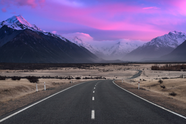 State Highway 80 takes you to Aoraki-Mt Cook National Park, which is home to 22 mountains reaching over 3,000m above sea level.
 -
 The track to Lake Angelus along the Robert Ridge Route has some precarious sections across craggy mountain tops
 -
 A mid-winter view from a spot near Mueller Hut towards the Hooker Valley and Aoraki-Mt Cook
 -
 A nuclear sunrise over the Castle Hill Basin reflects in a tarn in the Craigieburn Range
 -
 Lake Nerine sits high in the Humboldt Mountains in the far reaches of Mt Aspiring National Park
 -
 The glowing summit of Mt Sefton (3151m), captured approximately 30 minutes before sunrise
 -
 When you're on State Highway 80 and have this view of Lake Pukaki and Aoraki - Mt Cook, you know only good things lie ahead.
 -
 Valley inversion cloud flowing over mountains near Park Pass, Mt Aspiring National Park


