-
 When the hoar frost descends on the Mackenzie Country it can be so intense that it looks like snow!
 -
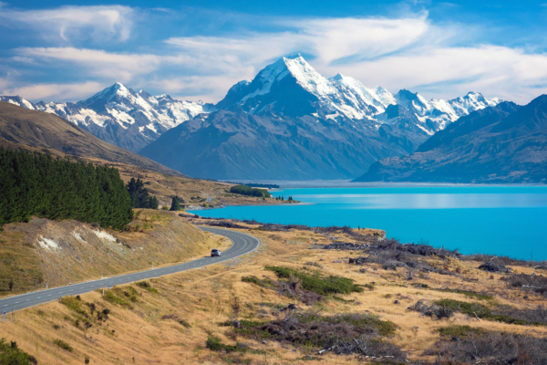
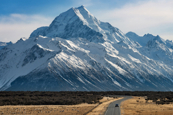 New Zealand's highest mountain, Aoraki / Mt Cook (3,724m), looms large over State Highway 80.
 -
 Lake Angelus, Nelson Lakes National Park, in a setting that could be from another planet
 -
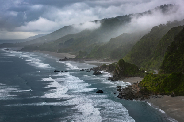 State Highway 6 weaves along the narrow strip between the Tasman Sea and Paparoa National Park
 -
 Although mostly purples and pinks, lupins can be found in a diverse range of colours (Lake Tekapo)
 -
 An aerial view of the Godley River has it descends from the Southern Alps towards Lake Tekapo
 -
 Although predominantly seen in purples and pinks, lupins can be found in nearly every colour of the rainbow.