Location: Canterbury
Kaikoura, Canterbury Plains, Aoraki-Mt Cook National Park, Mackenzie Basin
-
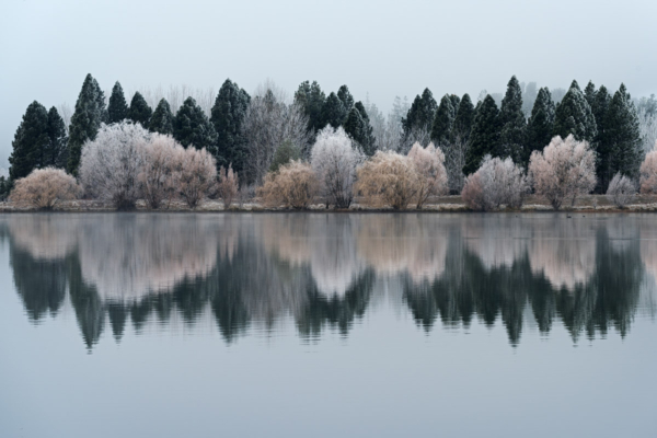
 After a day of grey, Lake Tekapo puts on an incredible show for the last few minutes before nightfall.
 -
 A double rainbow and lupins in full bloom makes for a colourful scene at Lake Tekapo.
 -
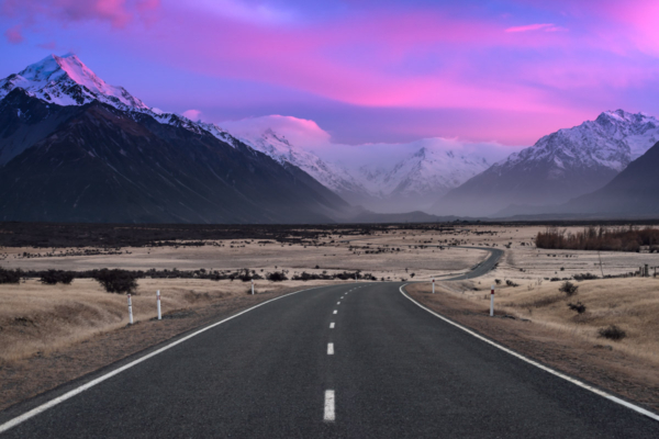 State Highway 80 takes you to Aoraki-Mt Cook National Park, which is home to 22 mountains reaching over 3,000m above sea level.
 -
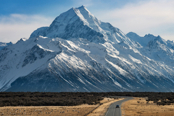 New Zealand's highest mountain, Aoraki / Mt Cook (3,724m), looms large over State Highway 80.
 -
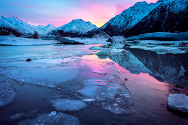 When the Tasman Glacier (New Zealand's longest, at 25 km) calves ice into its terminal lake, a winter wonderland is the result.
 -
 This view up the Hooker River towards Mueller Lake, in Aoraki/Mt Cook National Park, is obtained around 20 minutes walk in on the Hooker Valley Track.
 -
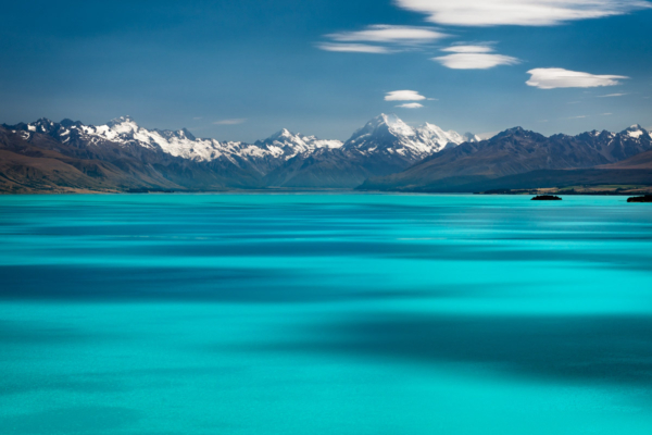 Lake Pukaki takes on this stunning turquoise colour due to the presence of rock flour, which is sourced from the grinding of glaciers against mountains in the headwaters of Aoraki/Mt Cook National Park.
 -
 The Church of the Good Shepherd, surrounded by invasive weeds. But aren't they pretty! :-)
 -
 A summer storm over the Waimakariri River coincides with sunset to create a spectacular end to the day