Category: Aerial

  • An aerial view of the golden sand and turquoise water of Tata Beach, Golden Bay
  • An aerial view of the Godley River entering Lake Tekapo.
  • An aerial view of the Two Thumb Range and Lake Tekapo, Mackenzie Basin
  • An aerial view of the Godley River has it descends from the Southern Alps towards Lake Tekapo
  • The wandering braids of the Rakaia River, taken near Double Hill Station
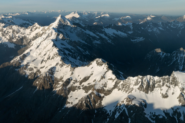
  • The rising sun creates strong light contrasts on the Southern Alps
  • Aoraki-Mt Cook (3724m) towers above inversion cloud blanketing the Tasman Valley
  • Glacial textures on Tititea / Mount Aspiring, New Zealand's 23rd highest mountain.
  • The setting sun provides some warm light to an otherwise cold winter's day at Sutherland Sound, Fiordland National Park
  • The incredible peaks of Stargazer (2352m) and Skyscraper (2347m), located on the northern flank of Mt Aspiring / Tititea
  • The many braids of the Godley River, taken near its confluence with Lake Tekapo
  • Avalanche Glacier, Mt Aspiring National Park, illuminated at day's first light
  • The towering Mt Aspiring (3,033m), often referred to as New Zealand's Matterhorn
  • The spine of the Southern Alps extending to the northern face of Mt Sefton (3,151m)
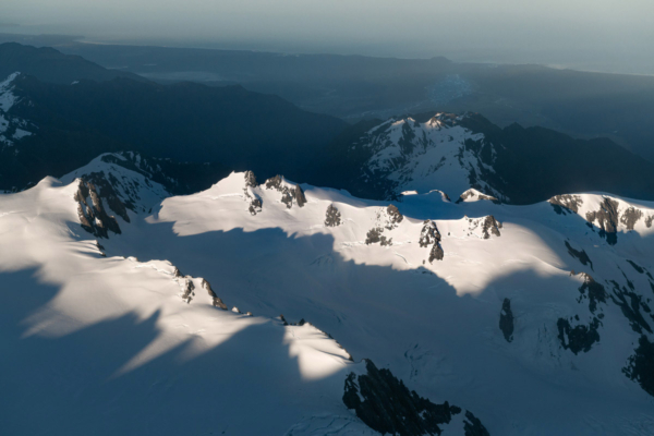
  • The Southern Alps at sunrise; the Fox River and the West Coast can be seen on the horizon
  • The intricate braids of the Godley River, which flows into Lake Tekapo
Go to Top